There’s a certain mystique to King Ridge. Ask a Northern California cyclist about King Ridge and their answer might begin with the story of simply getting to the remote start of the ride, which for most Bay Area cyclists involves about a 2-hour drive to the Lower Russian River Valley of Sonoma County.
The standard numbers of the ride–51 miles (82km) and 5,100 feet (1,554m) of climbing–belie the mystique. To really understand King Ridge you need to look at different metrics:
- Fault lines traversed: 1 (San Andreas)
- Watersheds crossed: 3
- Longest stretch between services: 38 miles (61km)
- Percent of route without cell service: 90
- Traffic lights: 0
I knew little about King Ridge when I signed up in 2009 for the inaugural Levi’s King Ridge Gran Fondo. I was young(ish) and mostly defined myself as a cyclist in terms of speed. Needless to say, I failed to appreciate the ride. Only years later did I come to appreciate King Ridge’s mystique.
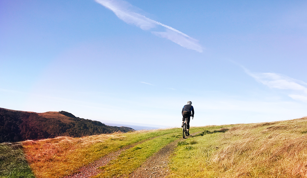
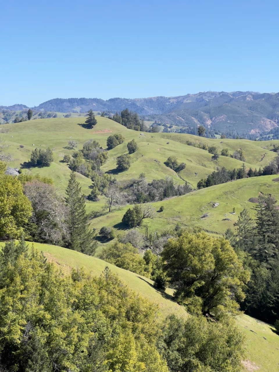
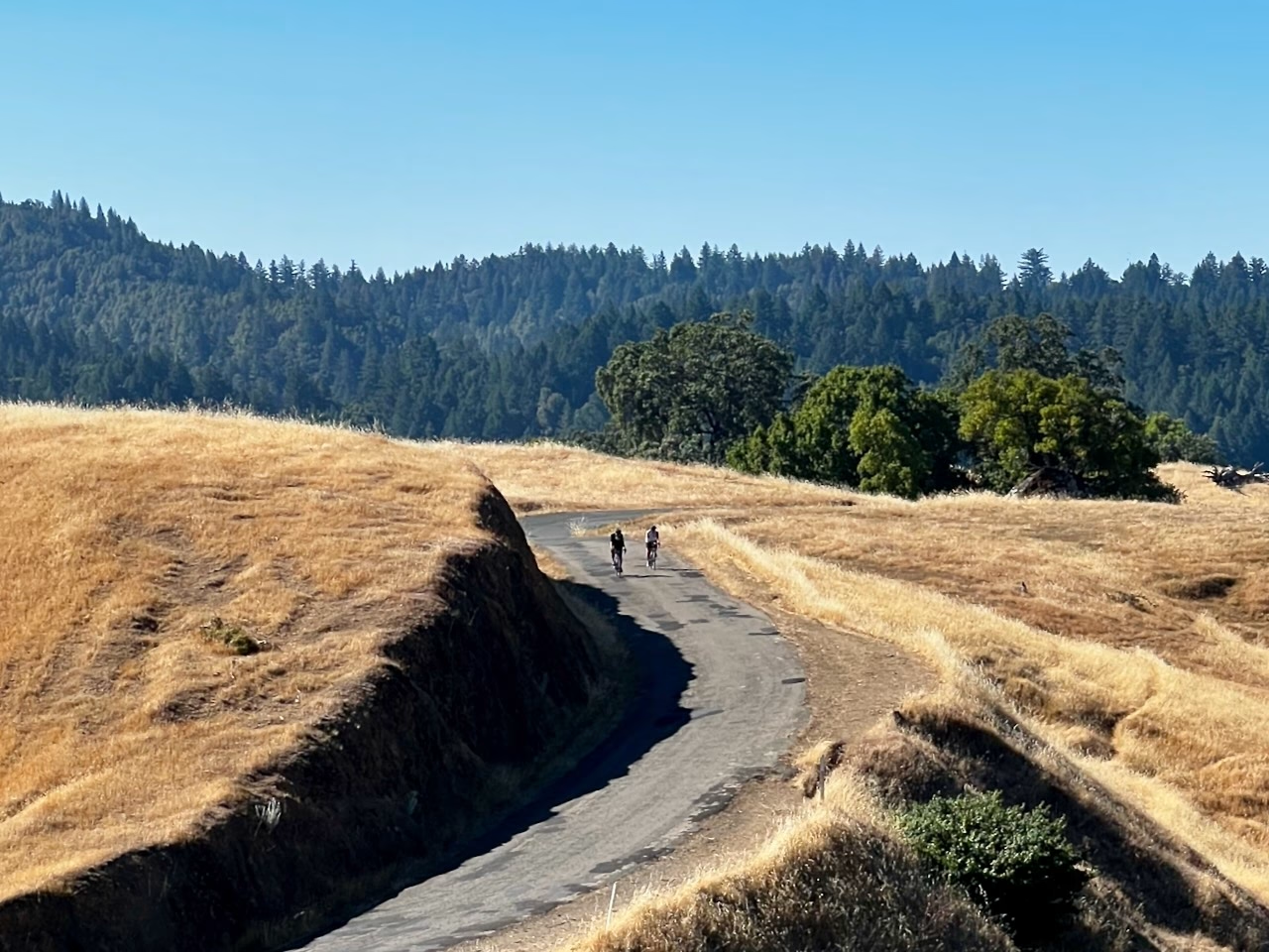
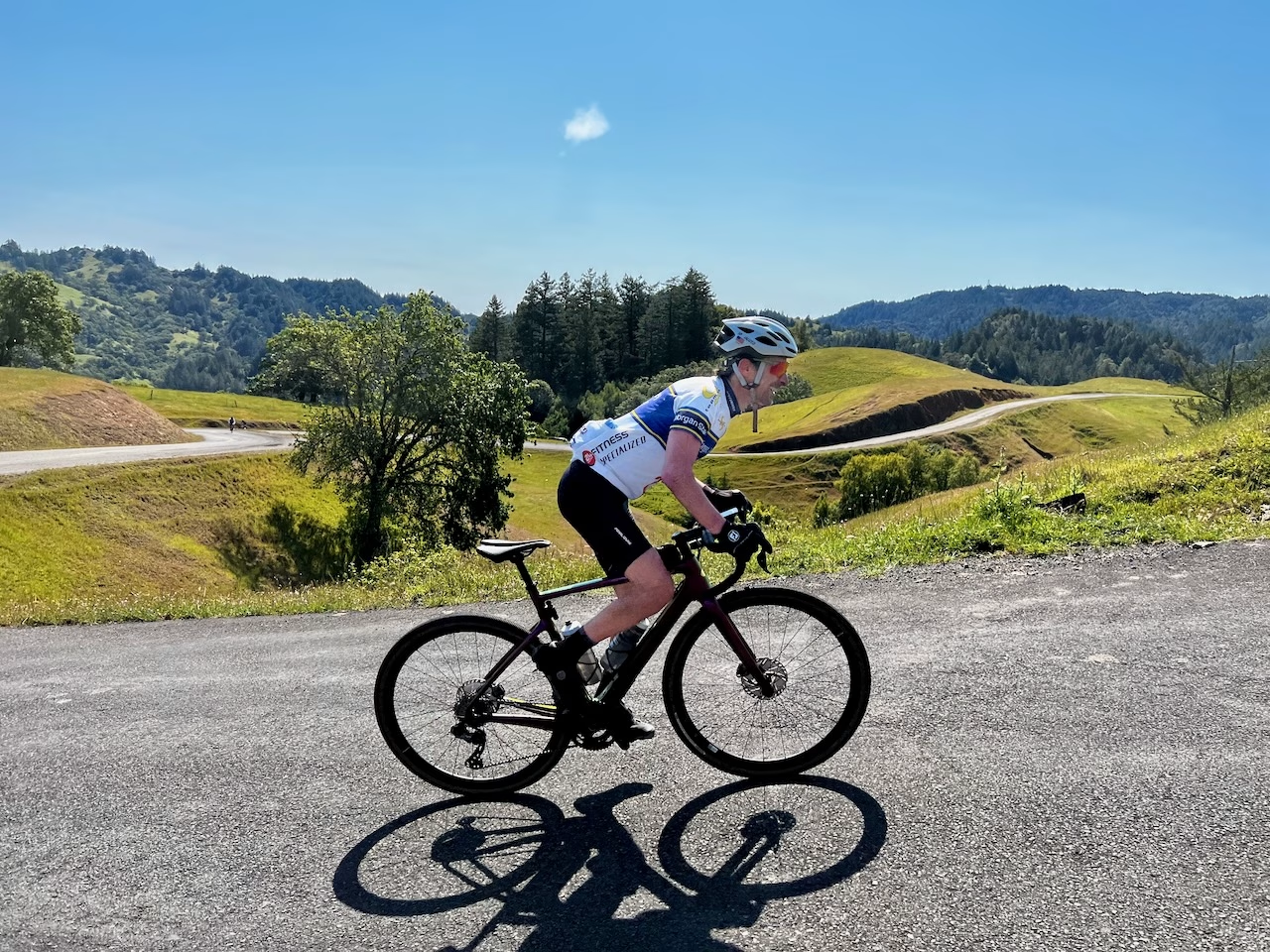
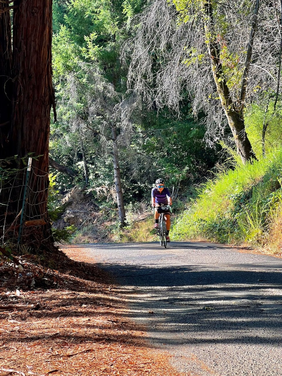
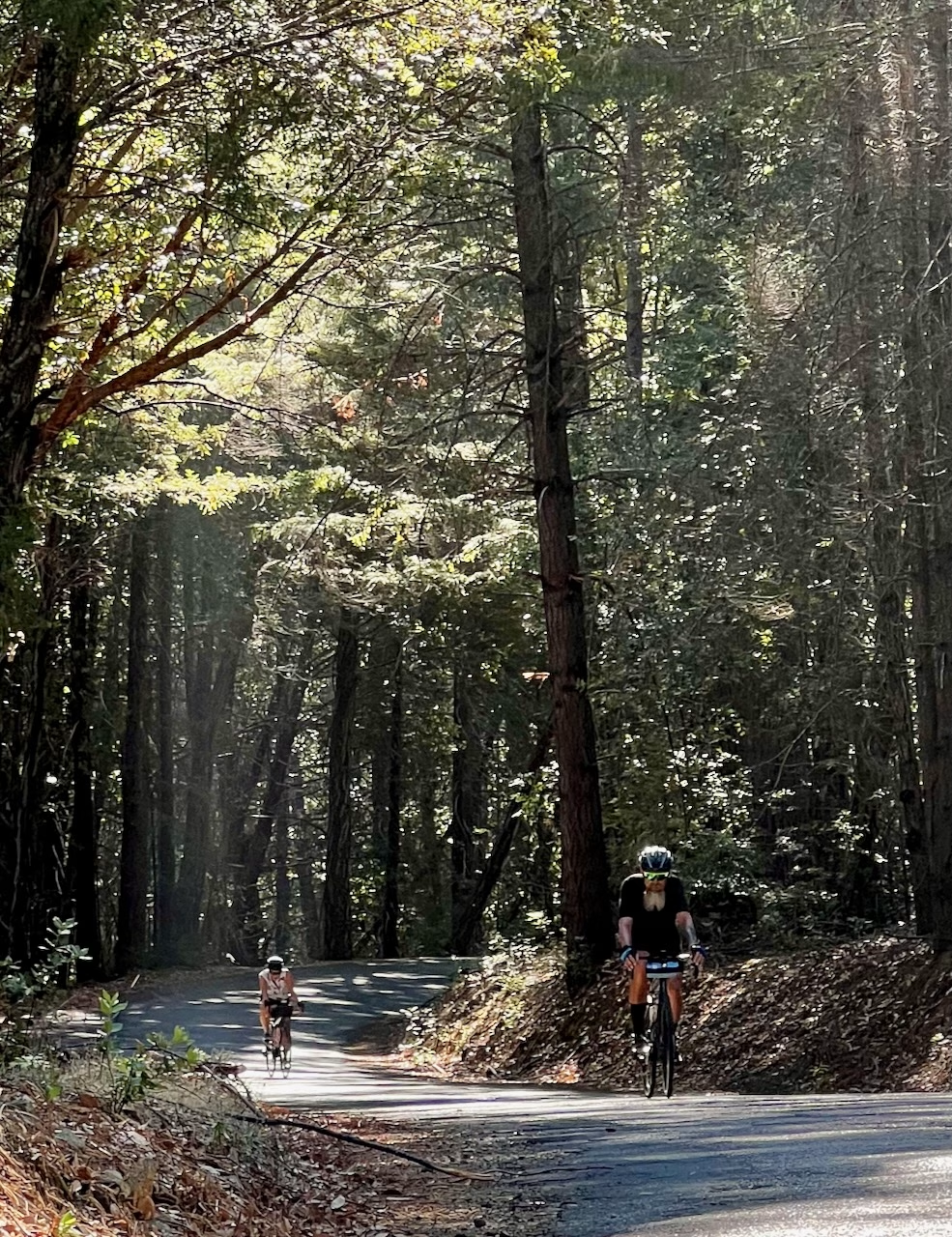
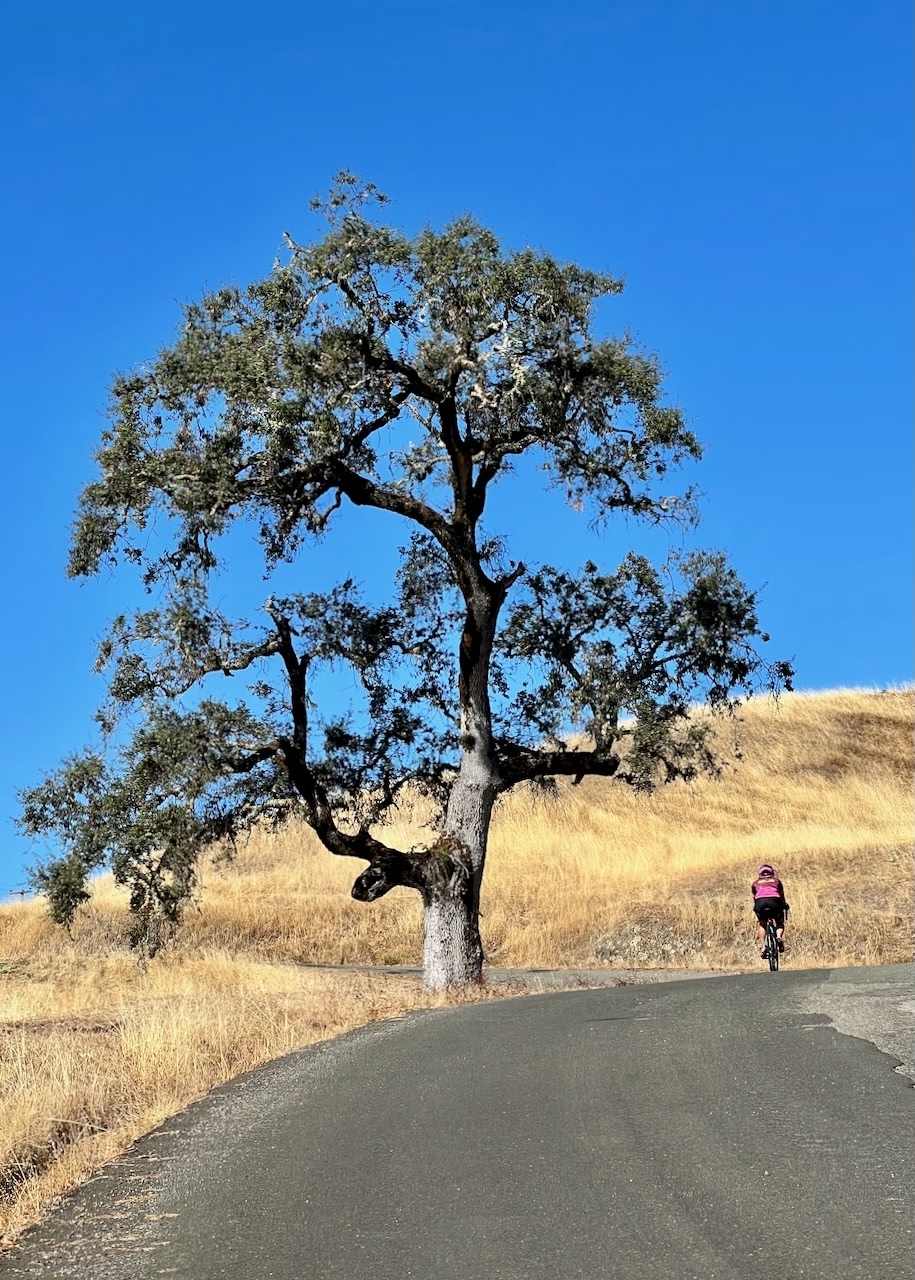
Like any good route, the classic 51-mile King Ridge circuit is like an unfolding story. Its chapters reveal themselves to you in exchange for your effort. The redwoods give way to the narrowing canyon of Austin Creek, which you leave behind for the initial climb to King Ridge itself. After obtaining the ridge proper following a second steep push, deep ravines open up to your left and right as you traverse coastal live oak woodlands–a quintessential California landscape defined by grassy hillsides dotted by oaks.
The story continues, however, as you begin to drop from the ridge and re-enter redwood habitat which gives way to vineyards and ranchland. Here King Ridge Road comes to an end, but the story is not over. If you caught glimpses of the Pacific from the ridge, you know just how close you are to the coast. Yet a steep drop to the South Fork of the Gualala River feels as remote as ever. Although you’re now just shy of halfway, you are TOTALLY committed to the full route. There’s no turning back…unless you want to climb 1.2 miles (2km) at a 12% grade because those are the stats of the descent you just came down.
You’re in the heart of the Northern Coast Ranges, after all, where the plural of “Range” is key. There is no singular range of mountains along the coast. There are layers of mountains, formed by interaction between the North American and Pacific tectonic plates. Even though Duncans Mills–the most common starting point for the loop–is just five miles from the Pacific, you must cross two significant ridges to get to the Pacific. One down. One to go.
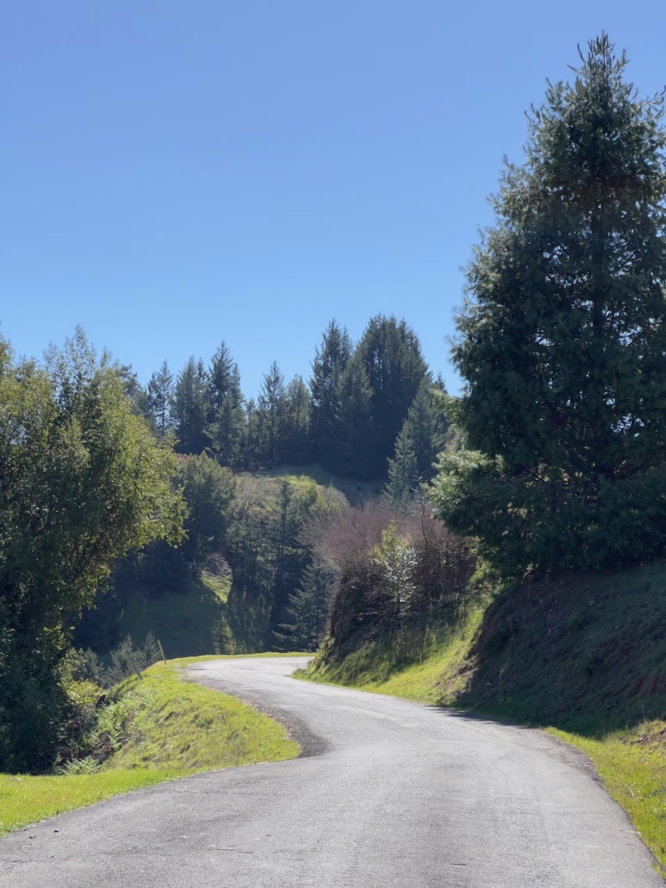
The next chapter of the story begins when the climb away from the Gualala River deposits you at Ratna Ling, a Buddhist retreat center and the only place to get water between Cazadero and Jenner. Now on Seaview Rd., you’ll transition back and forth between redwood and oak woodland habitat over the next 8 miles (13km). You’ll also climb another 1,200’ (366m), eventually topping out as you ride through evidence of the 2020 Meyers Fire.
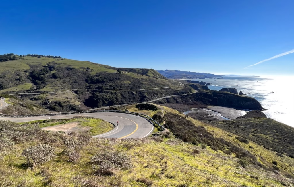
Here the story climaxes with one of the best views along California’s entire 1,000 mi (1,600km) coastline. For most of the next 4.5 miles (7km) your gaze is drawn to the vastness of the Pacific and the strip of land against which it ceaselessly throws itself.
Now at sea level, the final chapter begins. Raptors soar above the jenner Headlands. Harbor seals sun themselves on the narrow spit of sand formed by the Russian River’s course into the Pacific. And a reliable tailwind pushes you home.
King Ridge can be undertaken by any cyclist who is comfortable with the physical challenge and confident in their ability to be self-sufficient over a remote route. The best way to soak in the King Ridge mystique is to give yourself a full day without the stress of an early drive to the start and the pressure of finishing the route to start the drive home.
That’s where Comova comes in. We’re conveniently located just off Cazadero Highway and directly on the classic King Ridge route. Our Cazita sleeps three and has a full kitchen and bathroom. The Redwood Nest sleeps two more. All guests have access to the Bike Barn for bike storage and for pre- and post-ride necessities like bike repairs, nutrition and hydration, device charging, kit washing, bike washing and more (like the beer fridge and hot tub). Whether King Ridge or another route, the Cazita and Bike Barn offer everything a cyclist could want for a cycling getaway.
And, of course, you can choose whether or not you want a guide. Don’t need a guide but would like on-call support? We use satellite communicators so our independent riders can reach us from anywhere.
Just want to do it all on your own? Here’s our essential guide to a DIY King Ridge ride:
When to Ride
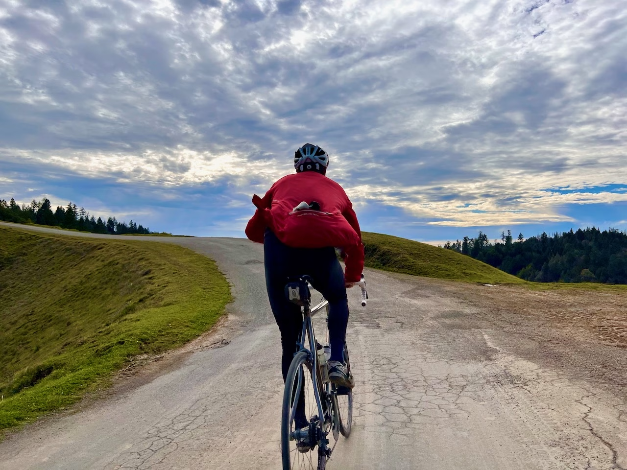
Jan-Feb: King Ridge in the winter is a special experience for those willing to take a chance. A wet winter means waterfalls, swollen creeks and lush green hillsides. The winter also usually sees less fog. Winter mornings, especially along Austin Creek, can be cold. But a sunny winter day on King Ridge and along the coast cannot be beat. Morning lows can drop below 40ºF/4ºC and sometimes daytime highs stay south of 60ºF/15ºC.
Mar-Apr: If the winter was wet, March and April mean spectacular greenery. March can see substantial rain in a wet year (or no rain in a drought year), but by April chances of rain begin to diminish. On sunny days, temps are near perfect: 60-70ºF/15-21ºC
May-Jun: Temps begin to warm up (65-80ºF/18-27ºC) and the chances of rain drop even further. Even in a wet winter, the lush green grass turns yellow by early or mid June. June also begins to see more summer tourist traffic for the short segment of the ride along Highway 1
Jul-Aug: Mornings are usually warm enough to begin a ride without arm warmers but that means by midday King Ridge can become quite hot (85ºF/29ºC). The good news is that temperatures are almost always cooler along the coast so even a hot ride finishes with nature’s air conditioning.
Sep-Oct: Much like July and August, in fact sometimes even a bit warmer. Everything is very dry and so the risk of wildfires is greater.
Nov-Dec: These months are a bit unpredictable. If winter rains come late (or not at all), Nov/Dec can feel like Apr/May. Once the rains come they start feeling more like Mar/Apr.
Starting Location
Gold Coast Coffee & Bakery (25377 Steelhead Blvd., Duncans Mills, CA)
Parking
Park on Moscow Rd. and leave the parking in front of Gold Coast for customers
Route
The King Ridge Classic route starting from Duncans Mills, available through Ride with GPS below, is a great DIY option. All of the distances referenced above are for the version that starts/ends at Comova. Come and stay or ride with Comova Cycling for the full-featured version of this route, embedded with useful POIs pointing out dangerous curves, hidden water stops, and more.
Logistics
- If you’ve forgotten any food you intended to bring, you’ll reach the General Store in Cazadero in 7.5 miles (12km). Your next services come at mile 45 (72km) in Jenner.
- At the end of King Ridge Rd. (24mi/39km), before turning left onto Hauser Bridge Rd., stop and take note of the signs warning cyclists of the steepness of the descent. Don’t underestimate how steep this descent is. Control your speed. As the descent bends right and wraps around the shoulder of the hillside the road straightens out but you’re likely to enter shade making it difficult to see the road. Just before you get to the bottom and cross Hauser Bridge there’s a left bend to watch out for. Be careful. There have been fatal crashes on this descent, but as long as you keep your speed under control you can descend safely.
- Across from the entrance to Ratna Ling (27mi/43km) is a water fountain
- In Jenner (45mi/74km), food options are Cafe Aquatica on the right (with deck chairs overlooking the Russian River) and a rather cramped convenience store on the left. Or continue 5 miles (8km) to the finish where there are additional options.
Bike Set Up
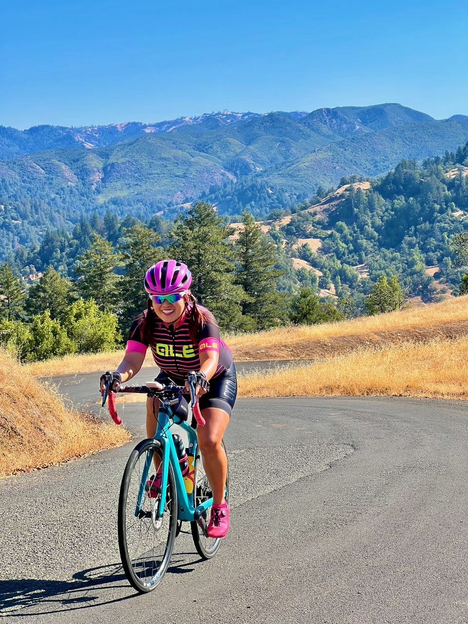
Yes, you can absolutely ride King Ridge on a road bike. If you look up KOMs on any of the climbs it’s likely they are help by former road racing pros who were riding on 23mm tires. And, yes, the entire route is “paved.” But King Ridge is notorious for landslides, potholes and road work. Where the road has been patched it is quite rough. I would not ride King Ridge on tires narrower than 38mm. For me, that’s simply a decision based on comfort and safety.
If you don’t normally use a handlebar bag you might want to think about one (or another way to carry extra calories and layers). It can be sunny and warm on the ridge and then cold, wet and foggy when you reach the coast. Oh, and did I mention that there are no services for the 38 miles (61km) between Cazadero and Jenner? Be able to carry everything you might need.
As for gearing, Comova’s rental bikes are set up with a 38-tooth chainring and a 42-tooth large cog for a gear ratio of .90. Not only does the King Ridge route throw 5,100’ of climbing at you, but there are about two miles (3km) of climbing at gradients above 10%. Unless you are really fit, you’ll want at least a 1.00 gear ratio (e.g., 42X42).
Variations
While there are no easier variations of the route, King Ridge can be used as a sort of backbone for any number of extensions to the classic route described above. From Tin Barn and Stewarts Point-Skaggs Springs to Kruse Ranch, Timber Cove and Fort Ross, there are a number of roads to choose from for those looking for an even greater challenge.
Feel free to fill out our contact form or email me directly if you have questions about King Ridge or its variations. It’s my backyard. I know it inside and out. And I love sharing my passion for riding in such a special place.